After the storm Xavier damaged forests on a large scale in northern Germany in 2017, the MLUL (2017) estimates that ca. one million cubic meter of wood were affected by the wind throws.
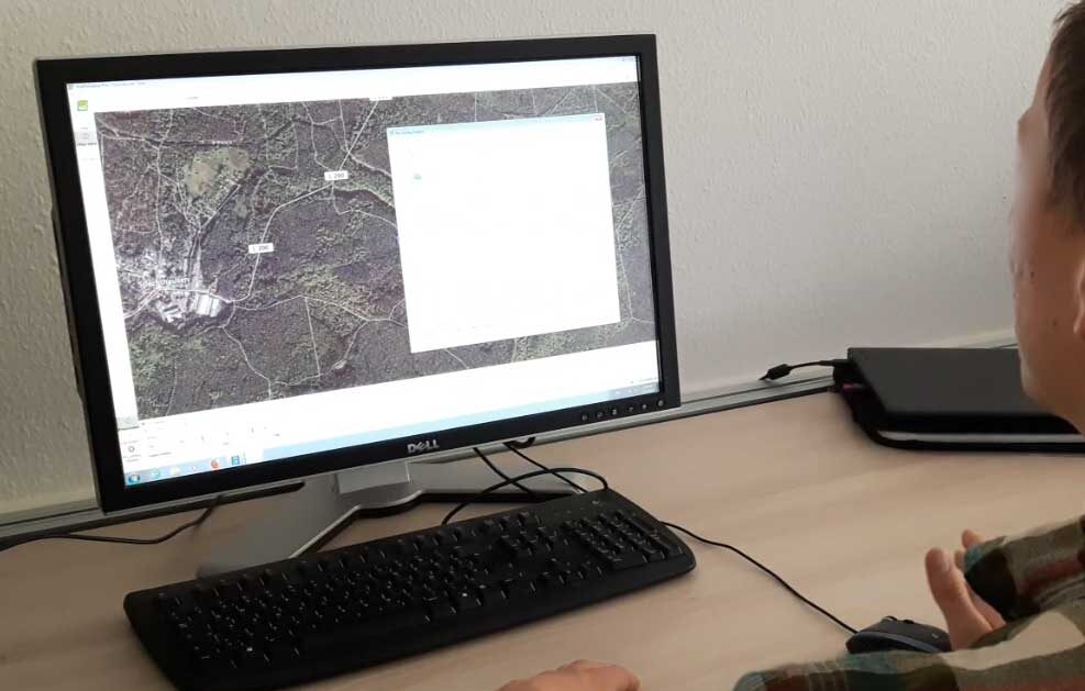
HNEE graduate Marcello Mohr recorded a windthrow area using UAV images. The goal of this project work was to detect changes by comparing the captured data before the windthrow in spring 2017 with the damaged area in spring 2018. After acquiring the images with the UAV, they were imported into pix4dmapper, where the initial processing was done first. In this step the images get calibrated and the position of each image is derived from its metadata and with key points. In the next step the point cloud was generated, which results in a dataset with x, y, and z values of each pixel. At the final step, an orthomosaic and the DSM were created.

Mohr was able to use 3D point clouds to provide foresters with an accurate terrain model (DSM) after the windthrow, so that skid trails can be planned without walking on the storm area and safe trails can be created. It also allowed him to accurately identify the affected area and analyze the amount of timber involved. In the process, Mohr created a semi-automated work process that delivers standardized results. Based on the digital surface model (DMS) rather than an orthomosaic, the HNEE graduate identified the damaged forest area. A comparison area was surveyed using a differential GNSS station to compare results from both areas. In addition, data from harvesting and logging processes were used for verification as ground truth data to compare estimated total wood volume. The stand studied was composed of beech (Fagus sylvatica) and a subspecies of oak (Quercus robur). The total study area covered by the UAV flight plan was 20 ha.

Map of detected windthrow in fall 2017 
Map of detected windthrow in May 2018 after clearing