
A lot of forest ecosystem analysis research is conducted with spatially oriented data. In forest monitoring or forest surveys for example, researchers or foresters survey large survey plots where the position and size of each tree is measured and recorded. Such records document two dimensions. Recorded trees are represented as points with X, Y coordinates of the treen basis.
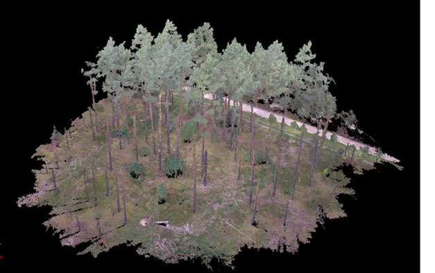
Forests are inherently three-dimensional environments.
Tree growth, tree regeneration, but also forest disturbances or competition for light all take place in a real 3D space. These processes cannot be fully represented in two-dimensional models or mappings.
The technology for monitoring or measuring three-dimensional (3D) vegetation structures has significantly advanced with recent progress in remote sensing, including approaches such as RaDAR, LiDAR, Terrestrial laser scanning or Structure from Motion (SFM).
The IT 4 Forest team for example recently works with a terrestrial laser to monitor biomass on forest ground or measuring wood piles.


