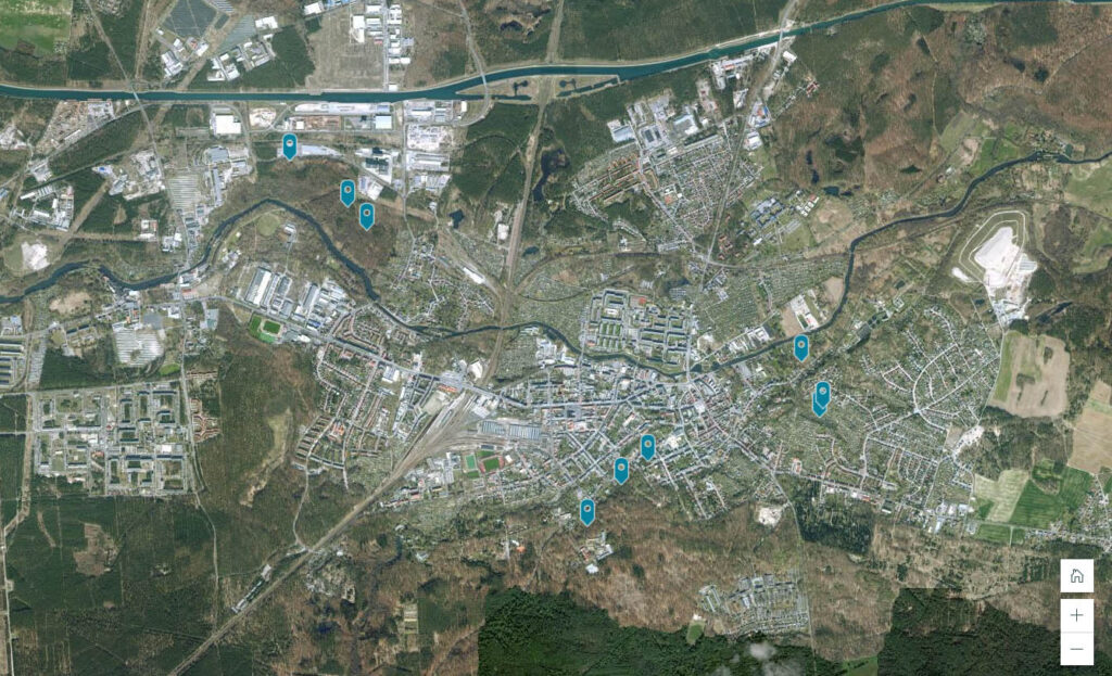
Making calamity areas accessible
IFEM students Merlin Hartwig and Timm Dörder take us on a virtual...
Study forests from your screen
Virtual Forests Twins based on 3D point cloud data allows studing forests...
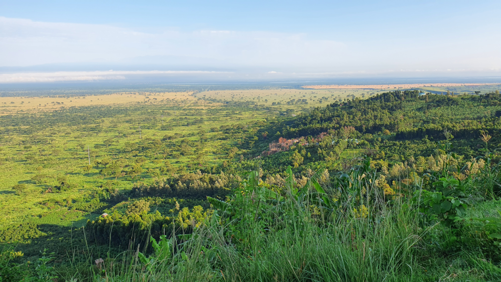
Ecosystem Service Valuation in Uganda’s Queen Elizabeth Protected Area
In the IFEM module “GIS for NRM” taught by Nicole Albert, Theo...
Windthrown Tree Stems and Convolutional Networks
FIT student Stefan Reder in cooperation with Jan-Peter Mund, Nicole Albert, Lilli...
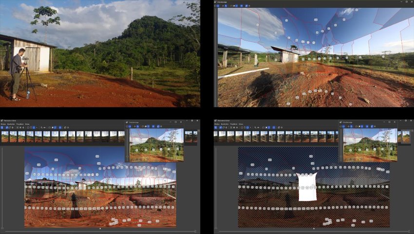
A conceptual framework for 360° VFT production
360° virtual forest tours (VFTs), created by state-of-the-art virtual reality technology, contribute...
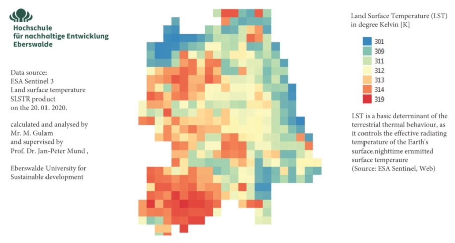
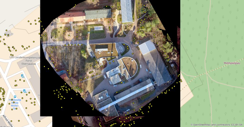
Land surface temperature analysis
How remote sensing can help in planning urban green in a city?...
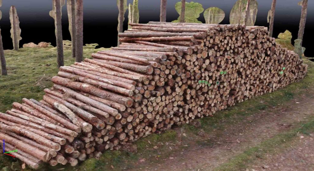
Estimating a log’s volume via hand held laser scanner
FIT student Stefan Reder was contributing to research into use of a...
Maschine Learning
In this study, Julian Backa, FIT M.Sc. graducate and former team member,...
Ethnobotanical knowledge in Mozambique
In his research project, FIT student Hainner Hernan Salamanca Aparicio worked in...
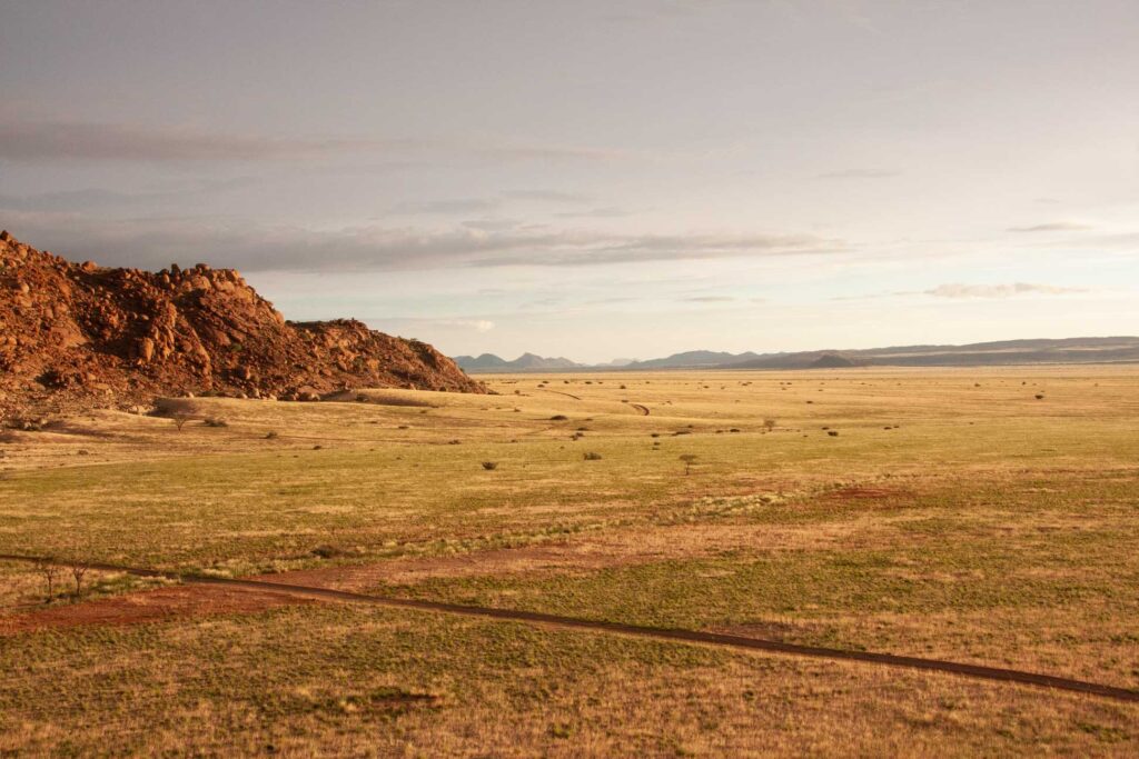
Phenometrics from high resolution rapideye imagery of semi-arid grassland in South Africa
HNEE FIT graduate André Parplies analysed during his research period phenometric of...


