Newly acquired technology, allows It4Forest enthusiasts Stefan Reder and Ramazan Bülbül to advance research in their projects “TreeDigitalTwins” und “ADAPT-Wald-Holz”.
The research team introduced a portable LiDAR scanner of the latest generation, Greenvalley LiGrip H300, into their research. The LiDAR scanner of the latest generation can achieve a point density of up to 60,000 points per square meter. This enables researchers to create extremely detailed 3D point clouds of complex forest ecosystems, capturing even the finest structures in the grain area or undergrowth.


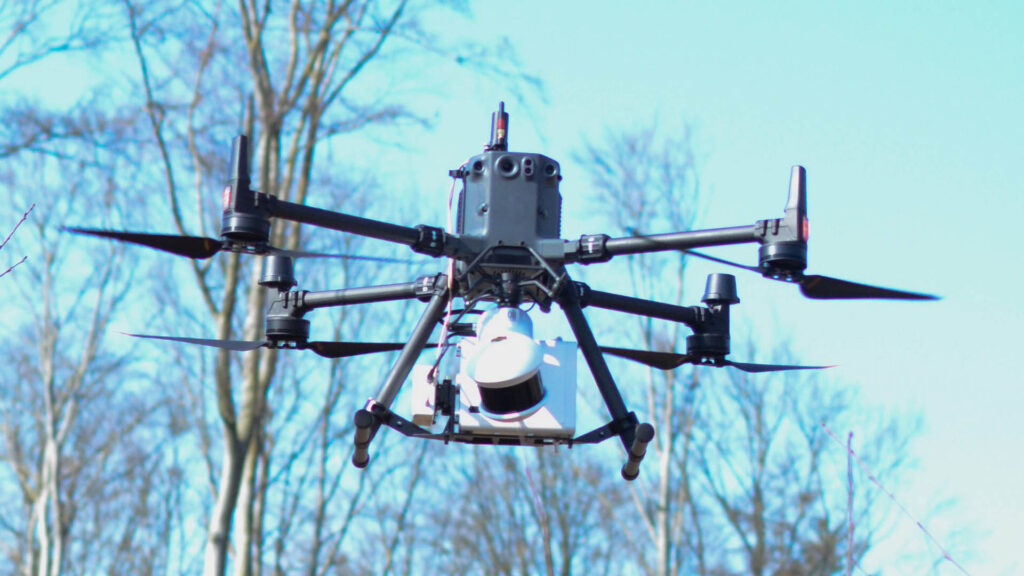
To capture aerial point clouds, the scanner can be worn or attached to a UAV, offering flexibility and versatility. To carry the laser, Reder and Bülbul fly a newly acquired DJI M350 RTK UAV. This drone is capable of carrying a number of sensors with a payload of up to 3 kg. The combination of the UAV as a carrier platform and high-resolution sensors opens up new possibilities for the analysis and monitoring of forest ecosystems that are difficult to access, such as dense regeneration areas, forests on bog and swamp soils, or areas where the risk of accidents does not allow access. The new technology will enable researchers to collect and analyse precise data on forest ecosystems to gain a better understanding of their dynamics and functioning.
In particular, the forest laboratories of the two REGULUS projects, “TreeDigitalTwins” and “ADAPT-Wald-Holz” will benefit from the new equipment. “TreeDigitalTwins” develops AI-supported methods for analysing digital twins of forests, while ADAPT-Wald-Holz focuses on the integration of the new technology into forest management.