
Unmanned aerial vehicles (UAV) or unmanned aerial systems (UAS) have gained increasing attention from surveyors and other geo-data collectors across the globe. Today, UAV mapping is widely recognized as a new means for acquiring spatial image data. The IT4Forest team uses near field sensing with unmanned Aerial Vehicles (UAVs) to support rapid and automized data collection in the forest. The bird’s-eye view helps to us inspect the area of interest (AOI) and to obtain useful information for a sustainable forest planning and management. We use various available software tools for further processing as our project below illustrate.
UAV application by the IT4Forest team

UAVs enable a cost-efficient workflow to estimate tree heights
How can one estimate the height of trees in remote, inaccessible areas? ...

UAV applications for forest structure and forest health
For testing UAV methods, Nicole Albert collected aerial images of a forest...
Discover students' work involving UAV
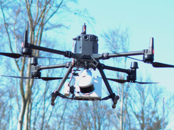
New technology for forest research
Newly acquired technology, allows It4Forest enthusiasts Stefan Reder and Ramazan Bülbül to...


From 3D crown models to forest management?
In his bachelor thesis, Matthias Lemke discussed the question of whether it...

Potentials of UAV use for windthrow analysis
After the storm Xavier damaged forests on a large scale in northern...

UAV and bulk materials – a student’s story
UAV close-range aerial imagery enables flexible, efficient and accurate spatial and accurate...

Flight Planning Methodologies for Forest Photogrammetry
HNEE graduate Stuart Krause explored the question whether precision fight planning can...