UAV
New technology for forest research
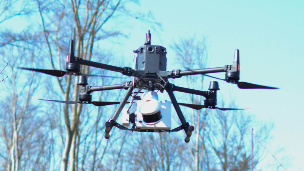
Newly acquired technology, allows It4Forest enthusiasts Stefan Reder and Ramazan Bülbül to...
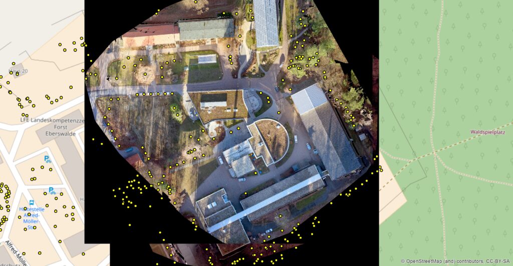
From 3D crown models to forest management?
In his bachelor thesis, Matthias Lemke discussed the question of whether it...
Potentials of UAV use for windthrow analysis
After the storm Xavier damaged forests on a large scale in northern...

UAV and bulk materials – a student’s story
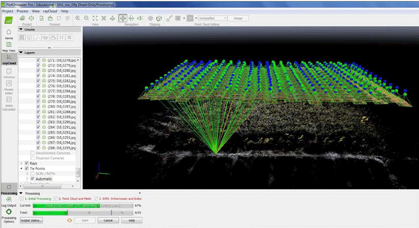
UAV close-range aerial imagery enables flexible, efficient and accurate spatial and accurate...

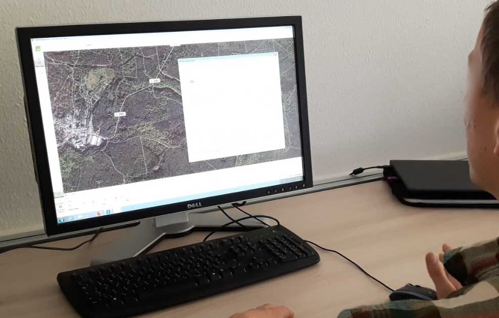
Flight Planning Methodologies for Forest Photogrammetry
HNEE graduate Stuart Krause explored the question whether precision fight planning can...